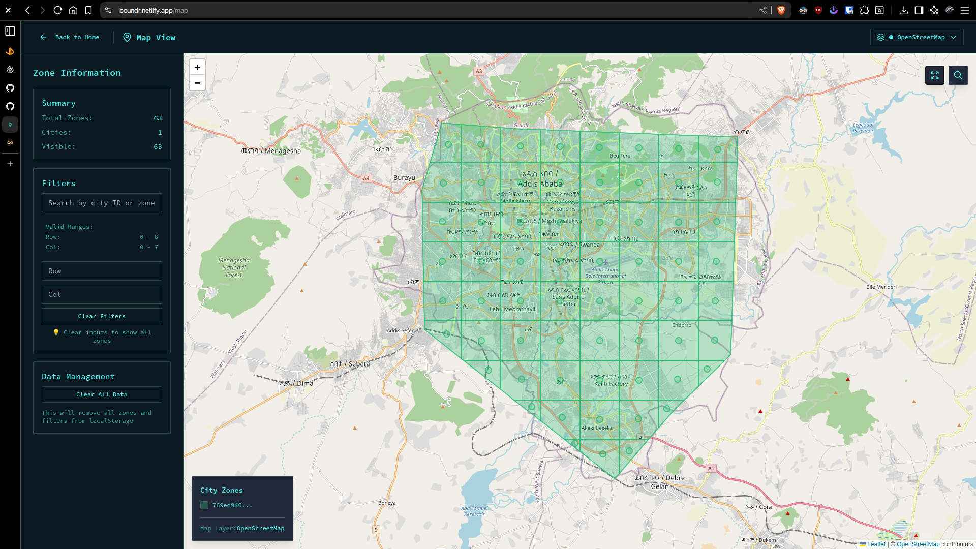
Bounder is a local-first web app to load a JSON file of city “zones” (polygons + centers) and visualize them on an interactive Leaflet map with styling, labels, search, and quick QA tools (bounds fit, coordinate sanity, etc.).
Why Boundr?
I’ve been working on a project that requires me to visualize zones on a map. A zone is a polygon with a center point that represents some part of a city.
Key Features
- Load a JSON file of city “zones” (polygons + centers)
- Visualize them on an interactive Leaflet map with filtering and searching